For GeoWEPP for ArcGIS 10.3 version, please refer to the manuals for the previous versions listed above. There have been interface changes but the basic functions haven't been changed. A new detailed manual with the current interface will be released in the near future.
GIF Animations
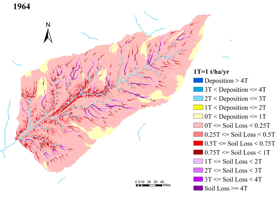
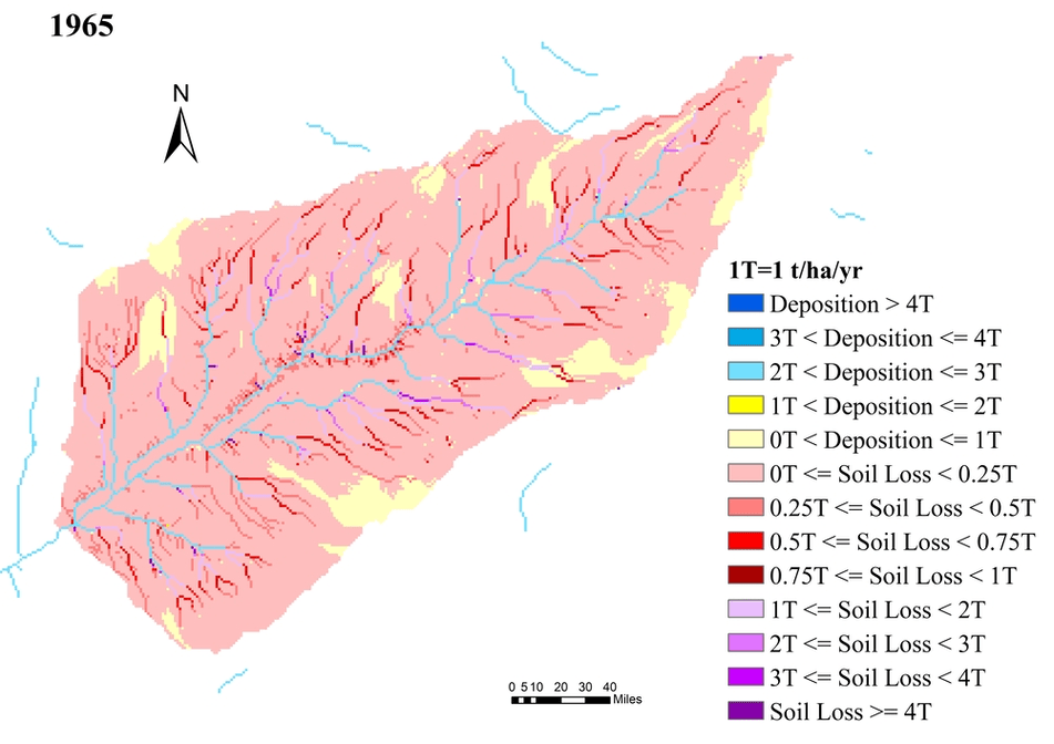
Figure 1. Animation of Accumulated Soil Redistribution Rates from 1963 to 2001 for the Lucky Hills watershed in the Walnut Gulch Experimental Watershed, Arizona using the flow-path method of GeoWEPP.Figure 2. Animation of Single Year Soil Redistribution Rates from 1963 to 2001 for the Lucky Hills watershed in the Walnut Gulch Experimental Watershed, Arizona using the flow-path method of GeoWEPP.